Last week I made a post about my short excursion to Torrevieja, Spain, and I promised you more photos from the outskirts of the city... Lately, I'm not too good with my promises as it takes me a lot of time to fulfill them, but this time, I have insisted on doing it!! 😃 The walk was fantastic and the idea that you can create a full image of Torrevieja and things around it... Also, it helps me to familiarize myself with that area and maybe re-consider the idea of buying real estate there one day... 😃
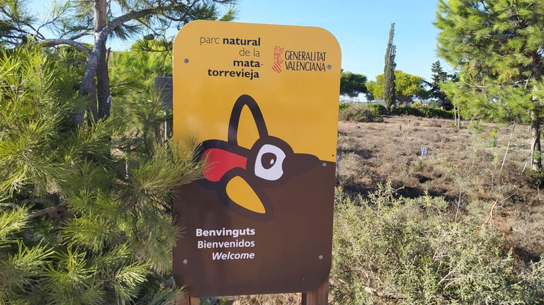
At first sight, from the previous post, I got the idea that there aren't too many things around the city... Somehow, it didn't leave "that feeling" in my heart and I didn't "fall in love" in the city... But, checking these photos, reminded me that the area around the city is beautiful and I could imagine myself going there for walks, exploring different paths and trails...
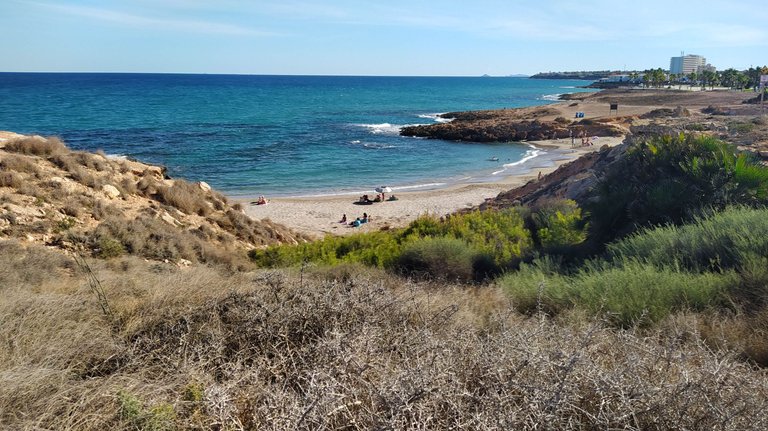
The first stop after getting out of the city center was a beach, and not just one beach... As it was October, it wasn't too hot for a bath and we didn't go there for swimming but rather for exploring the area... Along with those 2 beaches in the city center (I have shown you a couple of photos in the first post), there are many small beaches outside the city center... For example, the one in the photo above is situated between Torrevieja and Orihuela Costa, in the urbanization called La Zenia...
What is interesting to say about many cities in this area of Spain is that most of these smaller places on the seaside didn't even exist 200-300 years ago (some even 70-80 years ago)... Like Torrevieja, people who lived by the sea were fishermen and nobody cared about tourism... That's why this beach belongs to Orihuela, which is a city 30km inland! In this small urbanization, you can find many small beaches like Playa de la Zenia, Playa Flamenca Beach, or Cala Capitan... I didn't take many photos of the beach, and only this one was worth sharing... 😃
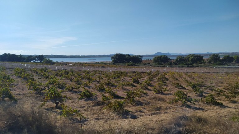
After the visit to the beach, we went to visit two salt lakes that are one of the most famous attractions of Torrevieja... As we went on the trip completely unprepared, we had no idea where to "enter" the lake area... 😃 Of course, we tried on the "wrong side" where was impossible to get closer as there was very dense vegetation around, so we consulted Google Maps for directions... 😃
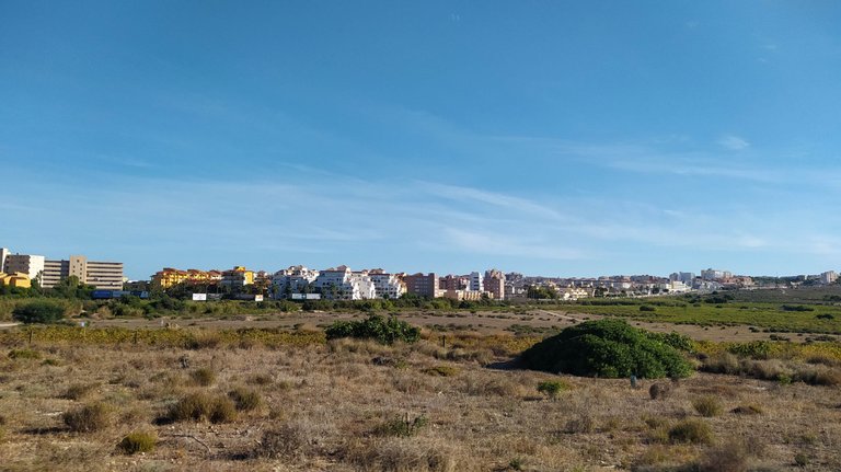
On the first attempt, we tried to reach Pink Lake, but after looking at the map and how it looked IRL, I thought that it was just an old Salt Factory, so we didn't go there at all... That lake itself is very interesting as it is compared to the Dead Sea, because of its high percentage of salt, and it has 350 grams per liter of pink pigment produced by bacteria (a number similar to the Dead Sea)...
The pink lake itself is impressive, however, the surrounding area is horrible, with litter everywhere and the swamps surrounding it smell like used cat litter…
Source: GoogleMaps
After checking some comments from Google Maps, maybe it was a good decision to spend the rest of the day on the other lake...
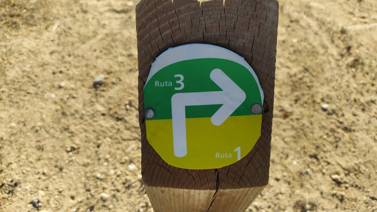
To our surprise, the "main entrance" to the Natural Park Mata-Torrevieja was very close to the main road and we almost missed it... 🤦 Both lakes do have a history, much longer than Torrevieja as people began to use them in the 14th century for extracting salt, but also for fishing... From the beginning of the XV century, it was one of the main salt producers not just in Spain, but in Europe... Salt was exported to many European countries by ships... In 1996 it was finally declared as a Natural park!
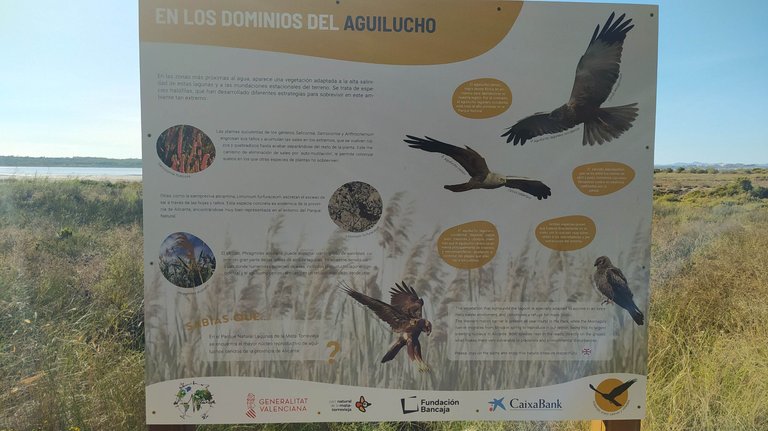
As I said with that failed attempt to get closer to water, the vegetation is dense and because of that, it's an ideal place for many bird species that you can see on this banner...
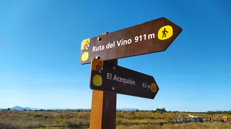
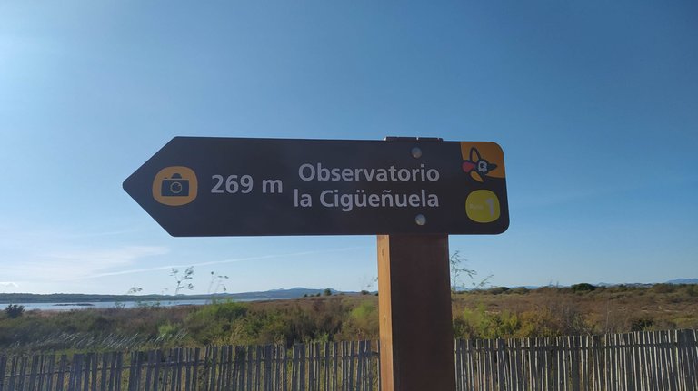
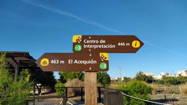
The short trails are well marked and it was relatively easy to walk around the lake... As you have maybe spotted in one of the photos above, there were some vineyards, and that's why one of the trails is called Wine Route 🍷
There was a small museum at the entrance to the park, but for some reason, it wasn't open on the day we were there...
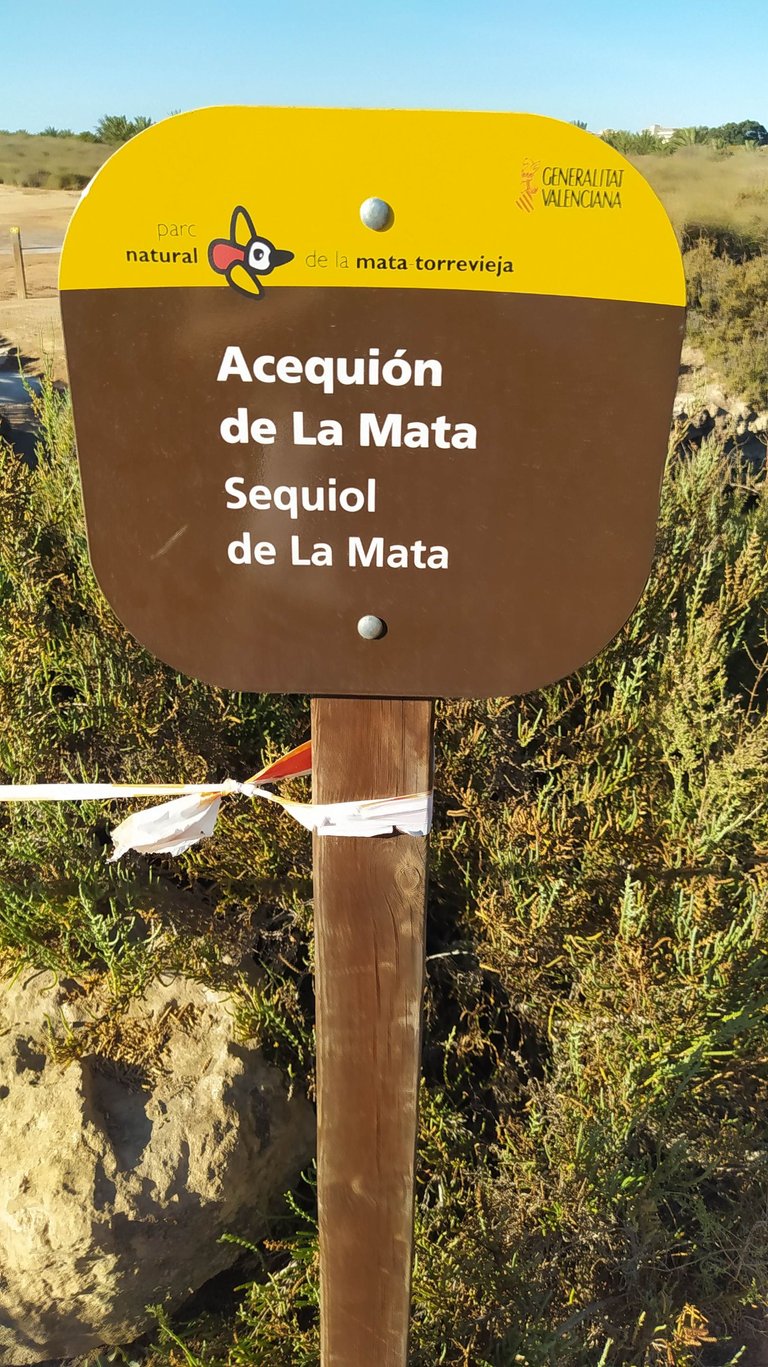
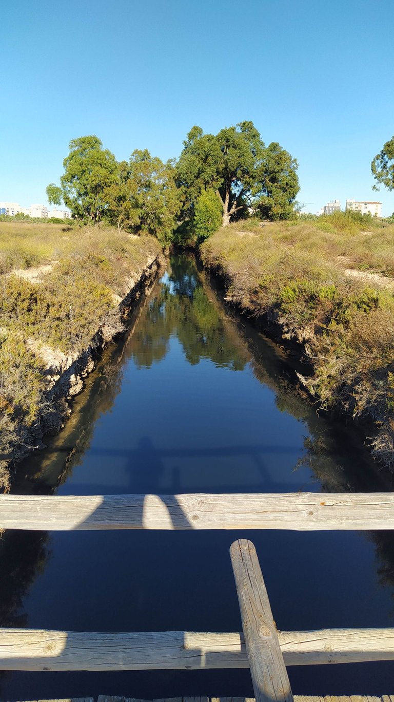
The question that arises after seeing these two big salt lakes is how they keep their "saltness"? 😃 The answer is in the photo below, they are connected with the sea with these artificial canals... I'm not sure, but I think that, in the time of salt extraction, the lakes were interconnected with many canals, which you can't see anymore, even if you check online maps, but some of them are going underground, under the roads...
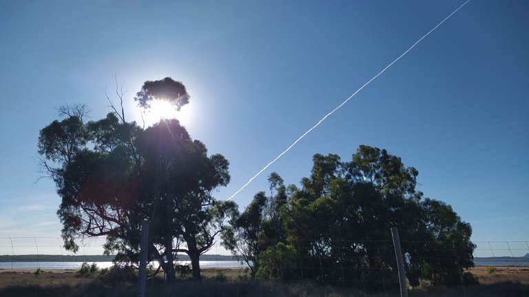
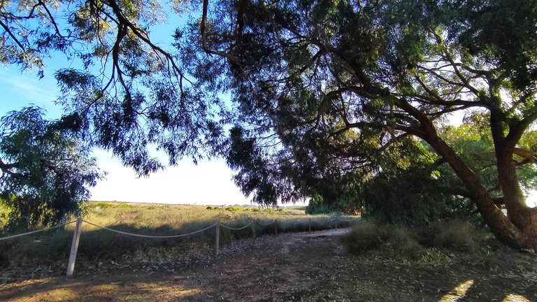
The day was beautiful, but it was interesting that not many people use it for a walk in nature!
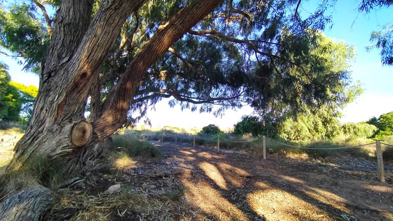
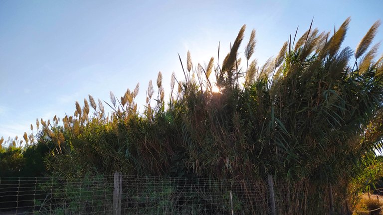
From the photo above, you can see that parts of the lake were "close to the public" and fenced, so we didn't reach water at all... It was one part where it was possible, but it was too far from where we parked and it was getting dark...
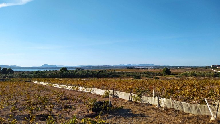
Last look at the vineyard for that day, but I hope not the last walk around the lake... It would be great to repeat this walk, but come in the morning and do the whole walk around the lake!
Thank you for your time,
~ph~

👉 Vote for Liotes HIVE Witness HERE 👈
Don't forget to follow, reblog, and browse my Hivepage to stay connected with all the great stuff!




 -
- 
 -
- 


