Visiting the Antonine Wall - A defensive wall built by the Roman's across Scotland in the 140's AD (1,900 years ago)

in Worldmappin8 months ago

On sunday we visited a couple of stretches of the Antonine Wall in Falkirk in Scotland. The Antonine wall was a defensive barrier built right across the central belt of Scotland (roughly from Edinburgh to Glasgow) by the Romans to exert control over the region.
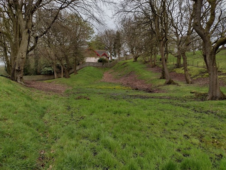
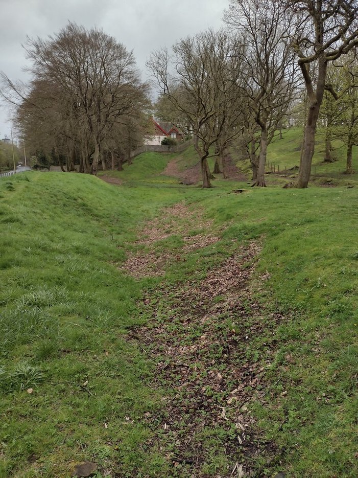
It wasnt really a wall as such, but more of a ditch with 'walls' of earth either side. The pic above shows an interesting view of it, from a part called Watling Lodge. The pic isnt brilliant, but the wall runs up to the house at the top. As it rises up the incline, you can clearly see the ditch and the embankments on either side. The house at the top is actually constructed over the wall - imagine that !
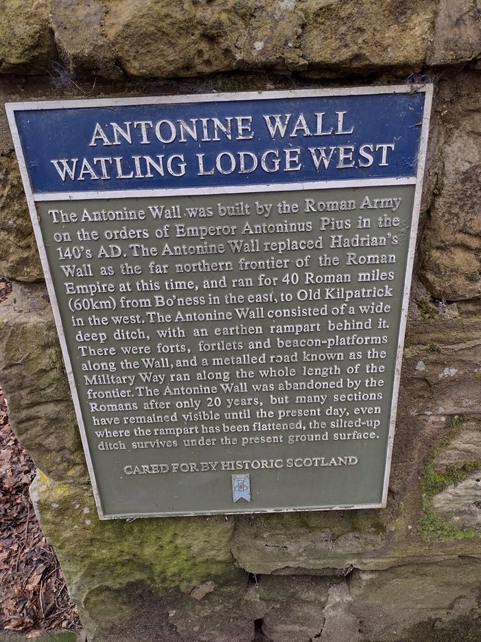
The plaque above at the site gives a little more information. Hadrian's wall dating from AD 122, which spans across Northern England, is much more famous and is a brick wall. It was built to help quell border raids from the Scots, and also trading between the Roman territory in England, and that of the Scots north of the wall. At the time it represented the northern frontier of the Roman empire.

However, the Romans then expanded their territory further by pushing up into Scotland. The Anotnine Wall was then constructed to defend and control that additional territory becoming the new northern frontier of the Roman empire. As per the plaque above, it was abandoned after 20 years, however, you can still find traces of it across Scotland, including remains of forts and the like.
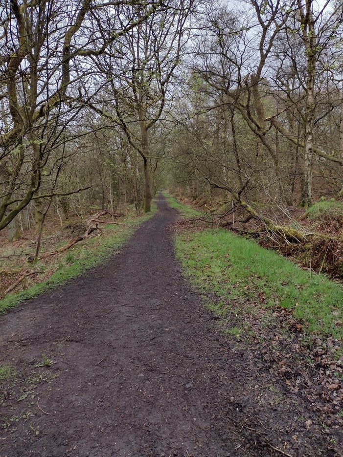
There are quite a good few stretches of the wall in Falkirk, with a path that takes you a few miles over to a part of it called Rough Castle (which we didnt go to). The pic above shows the path, and I've taken a mental note to go back and do that walk at some point.
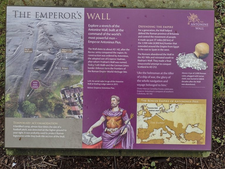
I find the Antonine Wall terribly fascinating. Many people have heard of Hadrian's Wall, but not many know about the Antonine Wall. Its also not well known that the Roman's had quite a presence in Scotland. There were even forts and outposts built north of the wall further up in Scotland, and they certainly explored all of Scotland, but they just couldnt contain it !!
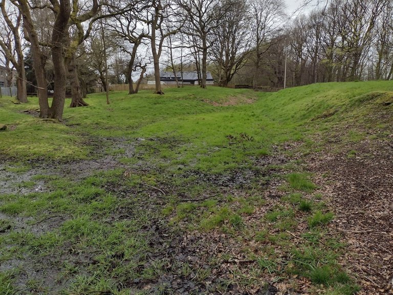
I know these pics are not great, so you do have to use your imagination a lot, although to be fair the wall is knocking on for close to 1,900 years old now, and its amazing that it has survived all of these years.
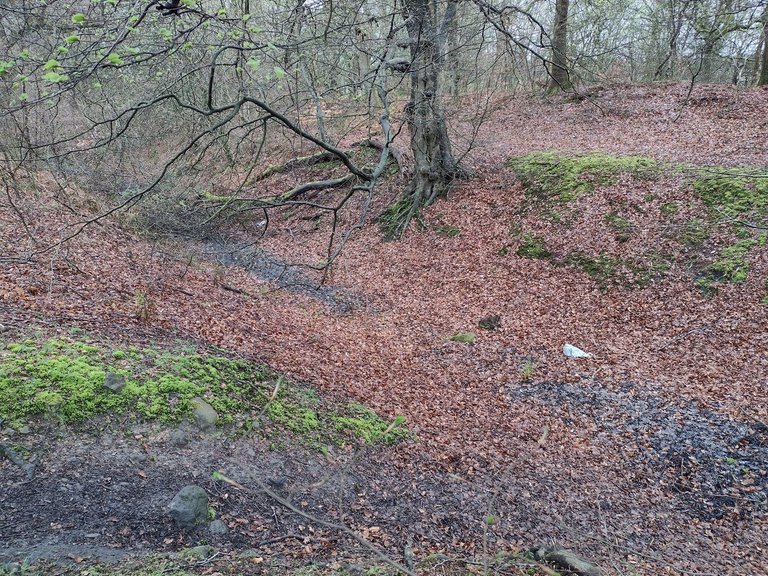
I did take some further pictures around a mile further up from Watlings Lodge, although its more overgrown and left to the wild there so is not as clear. You can see the ditch, but its collecting water and has fallen trees in it, and the like.
I would really like to walk the length of both Hadrian's Wall and the Antonine Wall at some point. Hadrian's Wall is setup to allow you to do that easily, whereas there is no path that runs parallel to all of the Antonine Wall that I'm aware of, and there are large stretches of it where there are no remains to speak off. However, I must make the effort to visit what remains, especially noting that the start of it in the East was in Crammond, here on the edge of Edinburgh, about 3 miles from where I live !
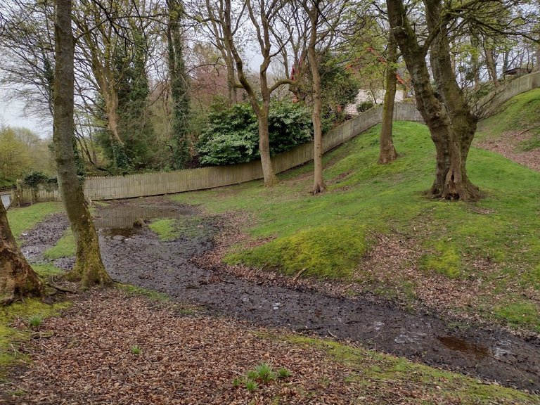
Well it was certainly interesting to drop in and see some of the wall, and I'm looking forward to making plans to see more of it during Summer this year !

Posted Using InLeo Alpha

Sort:  

Hi @hoosie,
Thank you for participating in the #teamuk curated tag. We have upvoted your quality content.
For more information visit our discord https://discord.gg/8CVx2Am

That is really cool. Thanks for sharing this piece of history with us. I don't know as though I have ever heard of it before. I think it is cool that you can still see remnants of it. I am heading out west this summer and I really want to find some old Wagon ruts from the Oregon Trail.

It would be fantastic to see some of the Oregon Trail - I'd love to see that !

Congratulations, your post has been added to Pinmapple! 🎉🥳🍍

Did you know you have your own profile map?
And every post has their own map too!

Want to have your post on the map too?

  • Go to Pinmapple
  • Click the get code button
  • Click on the map where your post should be (zoom in if needed)
  • Copy and paste the generated code in your post (Hive only)
  • Congrats, your post is now on the map!

🎉 Upvoted 🎉
👏 Keep Up the good work on Hive ♦️ 👏
❤️ @jasonmunapasee suggested sagarkothari88 to upvote your post ❤️
🙏 Don't forget to Support Back 🙏

I really like historical explanations and places so thanks for sharing it was an immersive post and the photos are ok don't worry 😁

Many thanks - I'm glad you liked it !

Hiya, @livinguktaiwan here, just swinging by to let you know that this post made it into our Honorable Mentions in Travel Digest #2190.

Your post has been manually curated by the @pinmapple team. If you like what we're doing, please drop by to check out all the rest of today's great posts and consider supporting other authors like yourself and us so we can keep the project going!

Become part of our travel community:

Many thanks @livinguktaiwan - its always appreciated !

Great post - I didn't realise there was so much left of the Antonine Wall !

It was really strange that the Romans designed buildings to last for centuries, but when it came to expanding the Empire it was entirely down to short-term expedient.

It would have been eminently possible for them to pacify the whole of the British Isles. The tribes were fierce, but the population density in Hibernia and Caledonia was much lower than in more southern parts. The policy of Vastatio (total scorched-earth devastation) while harsh, would have been effective against those tribes who didn't accept trade, client kingdom status and the increasing Romanisation that went with it.

However, it would have taken decades to achieve this, and most emperors wanted a quick victory rather than to spend time developing an outback region. But if one of them had done it before the start of the third century, it could have enabled Britannia to be reduced from a 3/4 legion province to 2 or even 1, and the new tribes would have been a valuable source of additional auxilia for the Danube frontier (75% of British Auxilia units appear to have been stationed in Pannonia and Dacia).

There is actually quite a lot left of the Antonine Wall. You can still see footings and the like of the main forts where they were built from stone, with more visible over towards the Glasgow end. The Fort here in Edinburgh was quite big, and I actually went to see it the other night so I will post about that. Not much remains, and there was even a fairly big bathhouse here, but it was covered back over, so you cant see anything of it, which is a shame. There is also an eagle carved into a rock near here, which is considered Roman and potentially linked to a legion, although not confirmed, which I think is pretty cool - although its so weather worn now that you now have to use your imagination when viewing it !

I agree, conquering all of the British Isles would have been really difficult. The Antonine Wall is clearly placed across the shortest route you can take from East to West in Scotland and makes a huge amount of sense from a defensive perspective, noting that it also encompasses a lot of the best land here. Then trying to control the rest of it above the wall line would have been incredibly difficult due to the landscape and islands, and would have taken way more soldiers and infrastructure, etc, than it was probably worth.