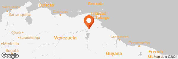
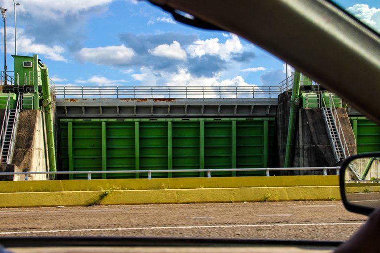
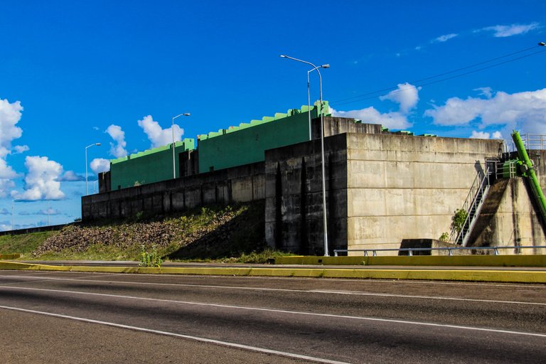
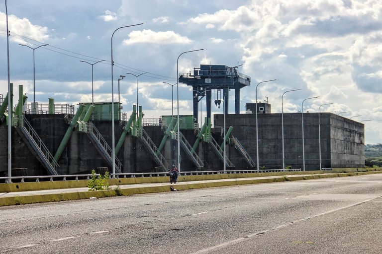
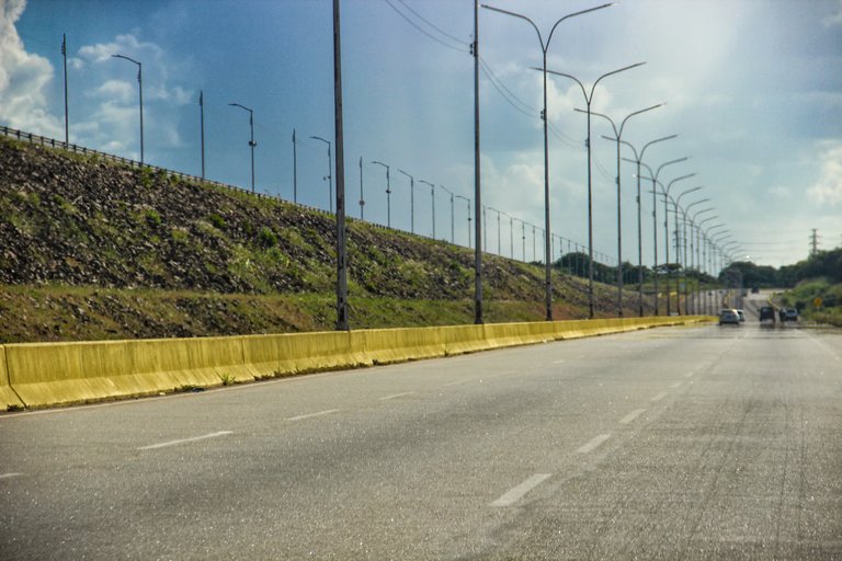
Greetings to everyone in the Worldmappin community! Today I join today to share with you what was my (brief) visit to the Macagua dam. This is one of the most important hydroelectric dams in Venezuela, located in the state of Bolivar, between Puerto Ordaz and San Felix. In addition in its surroundings there is also what is the Ecomuseum (currently out of service to the public, but where there are several remarkable elements) and the Parque de la Llovizna; I have talked about both places previously here on the platform. Continuing with the former, I made this visit when I was leaving San Felix on my way to Puerto Ordaz and was able to stop for a moment to see the river.
¡Saludos a todos en la comunidad de Worldmappin! El día de hoy me uno por aquí para compartir con ustedes lo que fue mi (breve) visita a la represa de Macagua. Esta es una de las represas hidroeléctricas más importantes de Venezuela, ubicada en el estado Bolívar, entre Puerto Ordaz y San Félix. Además en sus alrededores está también lo que es el Ecomuseo (actualmente fuera de servicio al público, pero dónde se hallan varias elementos notables) y el Parque de la Llovizna; he hablado de ambos lugares anteriormente por aquí en la plataforma. Siguiendo con lo primero, esta visita la realicé cuando salía de San Félix camino a Puerto Ordaz y pude parar un momento para acercarme a ver el río.
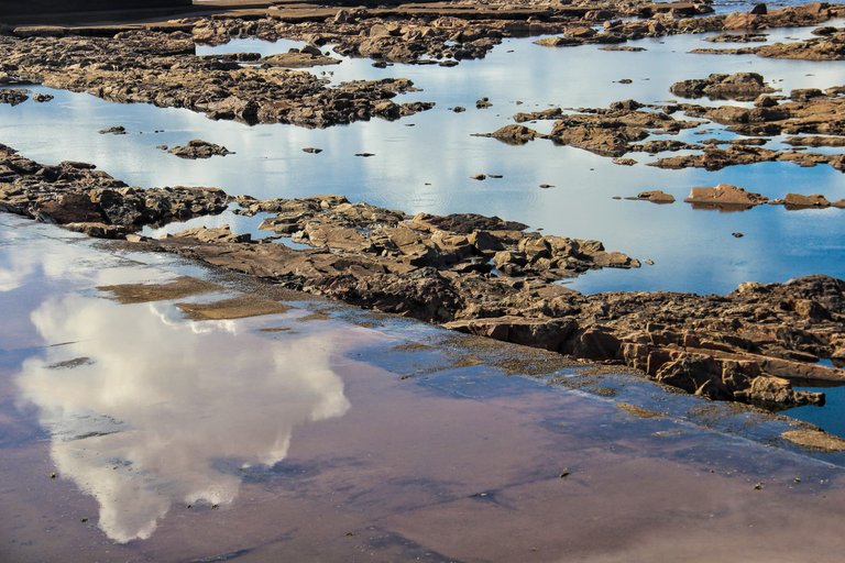
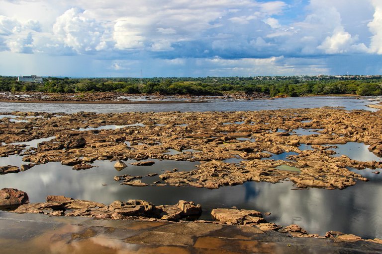
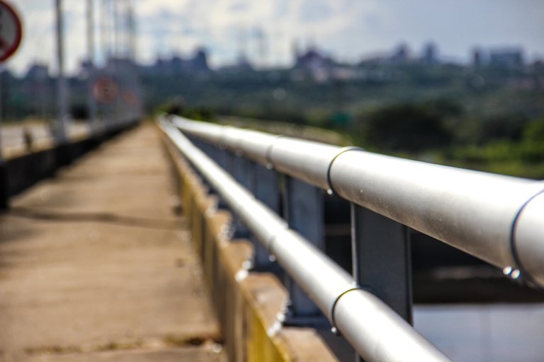
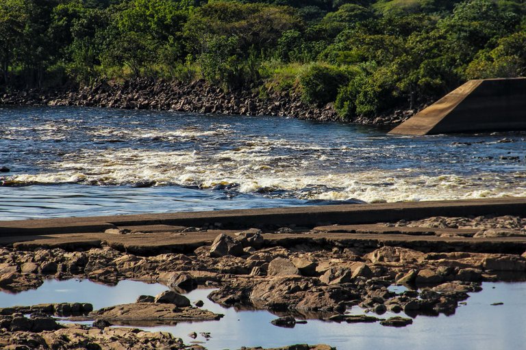
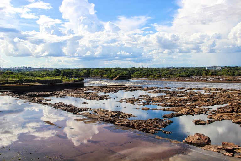
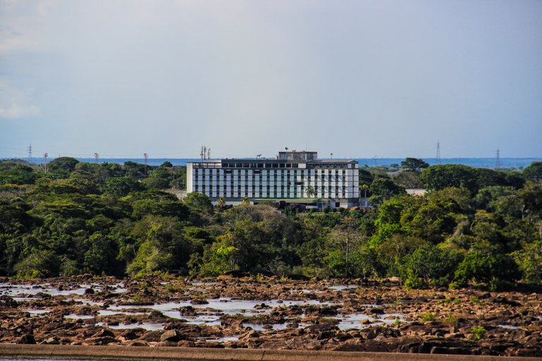
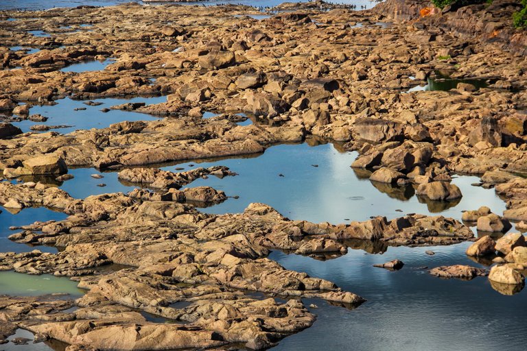
Usually the dam keeps the spillways open to let the water flow through. This happens when the water levels are high and they need to release the water load from the dam. It is during the rainy season when the spillways are kept constantly open. On the other hand at this time (between September to February), the rains have ceased and the river tends to drop in level so everything is uncovered. It was a very beautiful phenomenon to see as I had rarely had the opportunity to see it in that state. It reminded me for a moment of the Falcon salt flats that one can see from afar, with that kind of mirage between land, water and minerals. And although in the photograph they look like small mounds of stones, in reality they are large formations of rocks.
Usualmente la represa mantiene los aliviaderos abiertos para dejar pasar el caudal de agua. Esto sucede cuando los niveles de agua están altos y necesitan liberar la carga de agua de la represa. Siendo en las temporadas de lluvia dónde se mantienen los aliviaderos constantemente abiertos. Por otra parte en esta época (entre septiembre a febrero), las lluvias han cesado y el río tiende a bajar de nivel por lo que todo queda al descubierto. Fue un fenómeno muy bello de ver pues raramente había tenido la oportunidad de verlo en ese estado. Me recordó por un momento a las salinas de Falcón que uno alcanza a ver desde lo lejos, con esa especie de espejismo entre la tierra, el agua y los minerales. Y aunque en la fotografía parezcan pequeños montículos de piedras, en realidad son grandes formaciones rocosas.
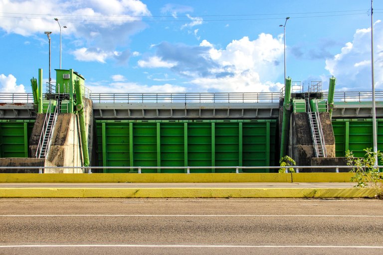
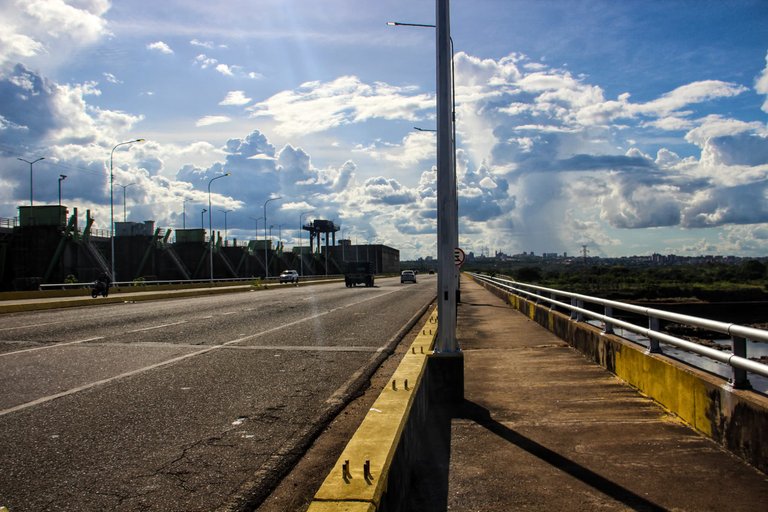
Today we had quite hot weather, although this area (in general in the whole state of Bolivar) is usually quite hot throughout the year. I even remember an opportunity where I visited La Llovizna Park and had to walk back home because I had no other means of transportation available and so I could see the dam, which at that time was releasing water and looked beautiful. I think it was the second time I was able to see it. However, on both occasions the heat has been an important factor as it generates fatigue. It is good to take this fact into account when visiting the dam. It is a somewhat isolated area, with a challenging climate, but definitely worth seeing. Without more to say, I leave you with the pictures, thank you very much for stopping by.
El día de hoy tuvimos un clima bastante caluroso, aunque esta zona (en general en todo el estado Bolívar) suele ser bastante caliente durante todo el año. Incluso recuerdo una oportunidad dónde visité el Parque La Llovizna y tuve que caminar de vuelta a casa porque no tenía otro medio de transporte disponible y así pude ver la represa, que en ese momento sí estaba liberando agua y se veía precioso. Creo que fue la segunda vez que la pude ver. Sin embargo, en ambas ocasiones el calor ha sido un factor importante pues genera fatiga. Es bueno tomar en cuenta ese hecho a la hora de visitar la represa. Es una zona un poco aislada, con un clima desafiante, pero que en definitiva vale la pena de ver. Sin más que decir, los dejo con las fotografías, muchísimas gracias por pasar por aquí.
