
my husband picking up his net in the boat he built
This is my post for 3freewriters 2543 prompt edge of the world hosted by @mariannewest
I wish I knew all of the stories behind how our islands and places along the river got their names. I know some of them, like Nancy's creek canal. It is on the north side of Long Point and years ago when one of the fishermen had his wife on the boat with him she would have him pull inside the canal out of the weather and make coffee on the boat, the night fishermen all carried a little portable stove with them.
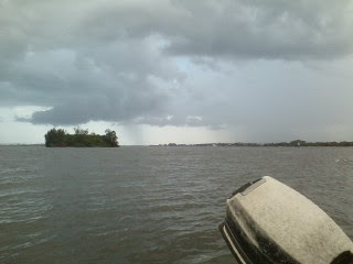
I do not know how Cat Island got it's name, there might have been a cat on it or maybe they caught lots of catfish from it.
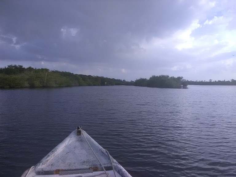
Rabbit Island was named for the amount of rabbits that live there.
Melva's Island is a small island at the east end of Turtle Pen Sleuth, Melva was a fisherman's daughter who went with him and the story goes the island is where he took her when she had to pee.
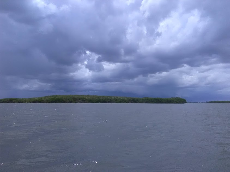
Turtle Pen Sleuth is from when they could sell turtles and they had pens in there to hold them until they went to market.
Hurricane Hole is inside Turtle Pen, it is a good place to tie a boat that can not be pulled out for a storm. We used to put our clam barge in there.
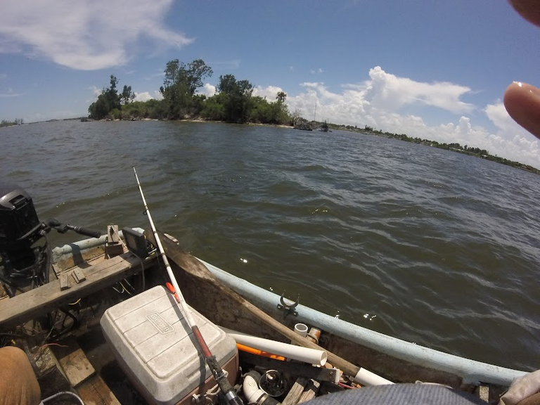
It is not called edge of the world but called The End of the World Bar. It is an underwater bar in Grant north of this island, all I can do is guess something bad happened to a fisherman when he was there, maybe he hit the underwater bar when a bad storm broke down on him and the fisherman must have thought it was the end of the world.
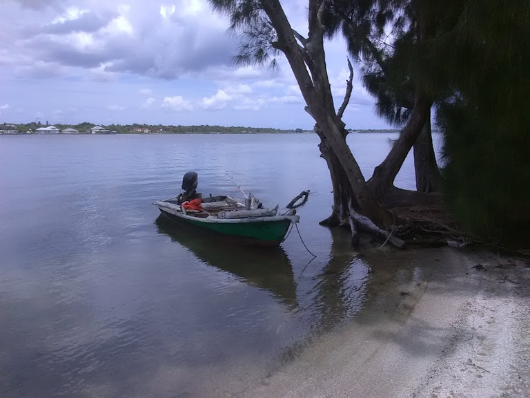
Judah's Island
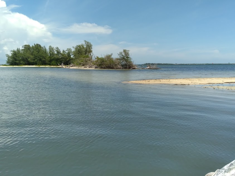
after the storms, Judah's Island is now two islands.
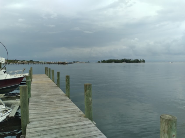
Semblers Island
Judahs Island, Mays Island, and Sembler's Island are all near the fish houses and are named for them.
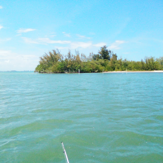
Bird Shit Island, well that one explains itself. They have now put poles around it saying you can not go on the island.
Pam's cove must have been named for another fisherman's wife, no telling why they named it for her but maybe something like she always wanted her husband to run his net there, or it could be she suggested it and he had a good catch and told the other fishermen his wife picked the spot.
There is a little white pole on the Big Flatt, I heard a fisherman call it, Cissy's pole after me. I liked to fish pompano around it.
On the east side of the river north of Long Point is the Beanfield, I think many years ago they grew some type of beans there. Coconut Point had a lot of coconut trees. The Dog House is on the east side of the river near Malabar, even though the dog house has been gone for many years, it is still called that.
Paul's Island was named for another fisherman who set his net out from it and would go to the island and build a fire to sit by while he waited for fish to get in his net.
Masher Island was named for a friend of ours, he left my husband's brother there for several hours, he said he would be right back. It is no longer an island but now an underwater bar.
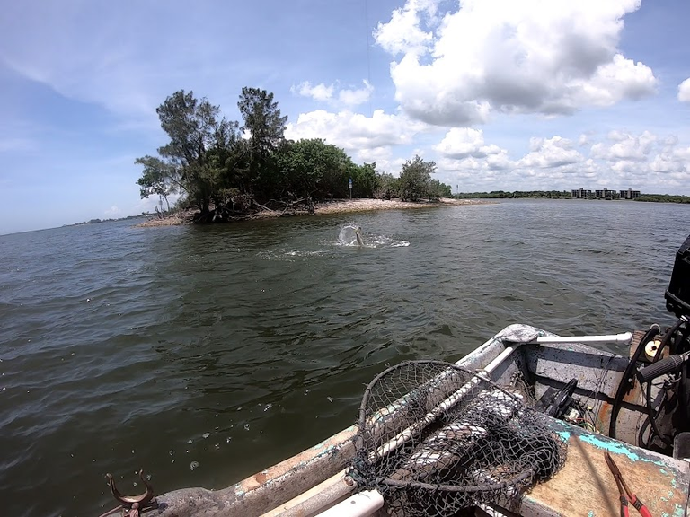
There are 5 little round islands south of town, some people call them the sister islands but they are not the Sister Islands, Sister Islands are south of the Wabasso bridge back in Lover's Lane, you can guess how it got its name. We always called the Round Islands just that, The Little Round Islands.
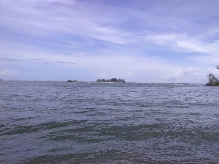
The East Banks are three islands that are across the channel from Sebastian, the North one is called Stratlee's Island, the middle one is called Middle East Bank, and the South one is called 7 Pine Bar but the Jaycees started using it many years ago and people started calling it JC Island.
Clint's Cove was named after a friend of ours son, Clint kept wanting his Dad to make a set with his net in it so one day they did and had a good catch. Clints Cove is inside Long Point on the east side of Horseshoe Island, yes, it is shaped like a horseshoe.
Photos are mine


